File:Flightpoints horde eastern.png
Jump to navigation
Jump to search

No higher resolution available.
Flightpoints_horde_eastern.png (494 × 550 pixels, file size: 354 KB, MIME type: image/png)
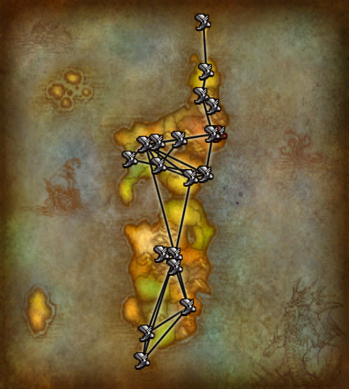
Composite map of Horde flight paths in the Eastern Kingdoms
Licensing:
| This image is copyrighted to Blizzard Entertainment Inc. |
|---|
| However: |
| Blizzard Entertainment Inc. grants "a personal, non-exclusive, non-transferable and non- assignable license to use and display, for home, noncommercial and personal use only, one copy of any material and/or software that you may download from [their] site, including, but not limited to, any files, codes, audio or images incorporated in or generated by the software (collectively the "Downloaded Content") provided, however, that you must include or maintain all copyright and other notices contained or associated with such Downloaded Content." |
Furthermore, we believe this falls under American fair use law because:
|
File history
Click on a date/time to view the file as it appeared at that time.
| Date/Time | Thumbnail | Dimensions | User | Comment | |
|---|---|---|---|---|---|
| current | 08:27, 5 October 2023 | | 494 × 550 (354 KB) | Surafbrov (talk | contribs) | == Summary == Reverted to version as of 11:07, 12 October 2010 (UTC) |
| 22:26, 18 December 2010 | 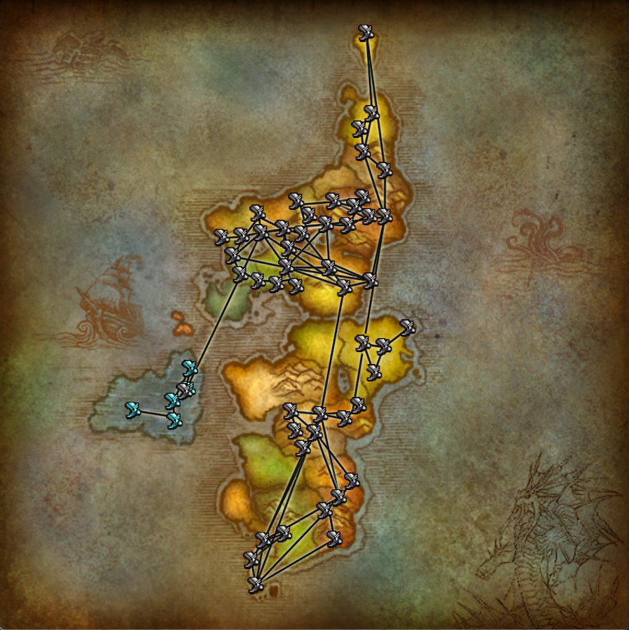 | 898 × 900 (1.14 MB) | PhilHibbs (talk | contribs) | == Summary == Flight points map PNG version - unfortunately I did save it as JPG at one point so there are some artifacts, but I am trying to clean it up bit by bit. | |
| 11:07, 12 October 2010 |  | 494 × 550 (354 KB) | Curse1 (talk | contribs) | == Summary == New flight points with composite routes | |
| 20:48, 26 August 2009 | 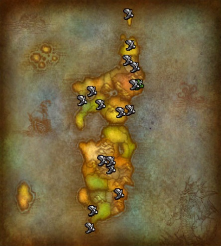 | 444 × 495 (483 KB) | Curse1 (talk | contribs) | == Summary == Updated to Patch 3.2.0a | |
| 20:42, 29 June 2008 | 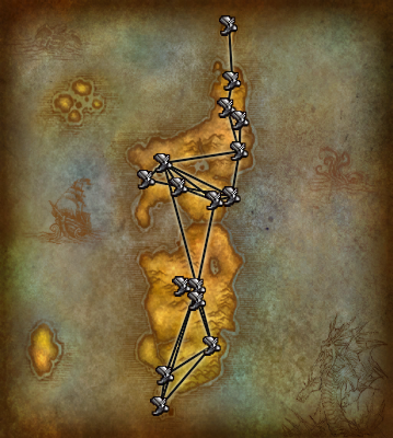 | 359 × 400 (250 KB) | Curse1 (talk | contribs) | == Summary == Composite map of Horde flight paths in the Eastern Kingdoms |
You cannot overwrite this file.
File usage
The following page uses this file: