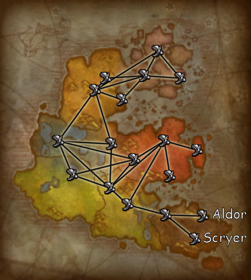
File:Flightpoints horde outland.png
Jump to navigation
Jump to search

No higher resolution available.
Flightpoints_horde_outland.png (494 × 550 pixels, file size: 345 KB, MIME type: image/png)
Composite flight route map
File history
Click on a date/time to view the file as it appeared at that time.
| Date/Time | Thumbnail | Dimensions | User | Comment | |
|---|---|---|---|---|---|
| current | 16:00, 5 October 2023 | | 494 × 550 (345 KB) | Curse1 (talk | contribs) | == Summary == Add Aldor & Scryer labels |
| 14:31, 12 October 2010 |  | 494 × 550 (341 KB) | Curse1 (talk | contribs) | == Summary == New map graphic | |
| 19:34, 29 June 2008 | 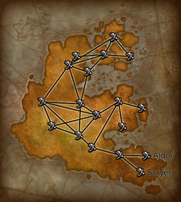 | 359 × 400 (223 KB) | Curse1 (talk | contribs) | == Summary == Composite flight route map |
You cannot overwrite this file.
File usage
The following page uses this file: